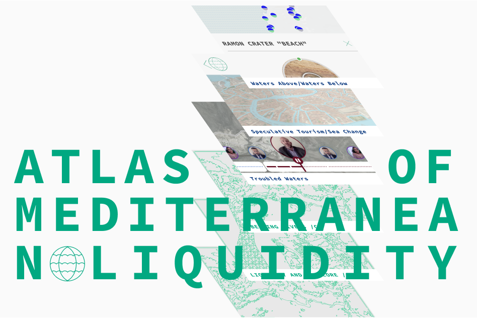
Browse in this growing collection of interactive maps exploring water as a cultural resource at a time of climate change.
The platform offers a growing collection of maps, devoted to different questions about the Mediterranean Liquidity: Water use, people and culture around water sources, historical events of disasters and damage to the sea, future speculations about changing sealines or drinking water shortages and so on; not only to coastal regions but to the entire geographical area of neighboring countries, including inland areas.
Mapping is not a neutral practice, it reveals the agenda of those who created the map, usually those in power. The concept behind this atlas is to bring as many voices, perspectives, narratives, and agencies of people who live around the Mediterranean. Following the water streams the atlas reveals conflicts and collaborations in the region; the geography of water – crossing national borders, communities and cultures, brings to the surface all the challenges but also, the potentialities of our region.
And if the act of mapping is a political act that creates reality, this atlas offers an alternative way of “reading”, or better, living in the region. Through a speculative mapping of the future, an imaginary horizon gets shape.
Credits: Goethe-Institut and CDA Holon